| |||||||||||||||||
|
the general situation
| |||||||||||||||||
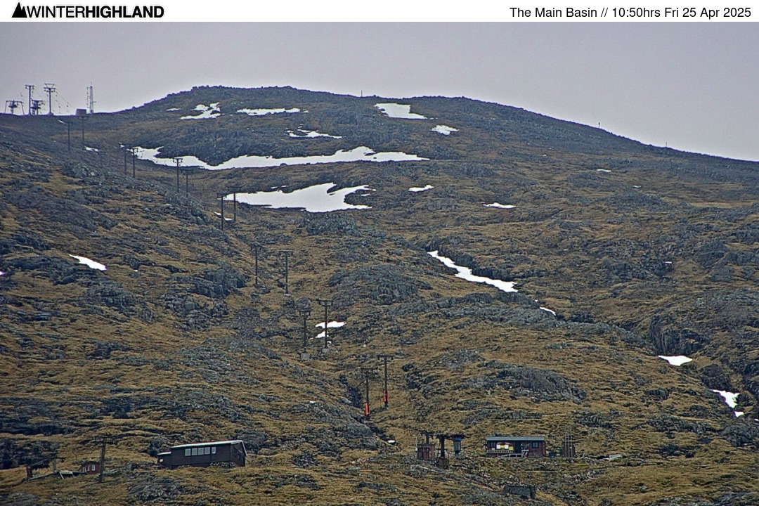
| Glencoe Webcams
 Nevis Webcams
Lowther Hill Cams

|
Overnight snow due, heaviest in the West - but a lot is required to reopen any terrain! This Report for the Scottish Highlands was issued at
17.51hrs Sunday 14th April 2024. Unfortunately it was a full on hair dryer through the second half of last week after a very wet, mild and windy day on Wednesday. CairnGorm is now officially closed for the season and it looks like the 2024 season is probably done, but the forecast models continue to tease.
If you have been out on the slopes please send us photos to snow24 at winterhighland dot info.
Tonight there is potential for heavy frontal snow in strong winds into the Western mountains, some of which could pick up 15 to 20cm of new snow at height. A cool and showery few days then follow with convective snow showers for the mountains and blustery winds, but unless significantly more snow falls this evening than expected, or an April 2012 style showery pattern sets up, it looks like the 2024 season is probably done for lift served snowsports.
Now over a week since uplift last operated for snowsports, at Glencoe on Friday 5th April. If that is the season done and dusted, it will remarkably have ended on a day with 20cm of new snow on the mountain and Summit to Moor laps of 2400ft vertical being notched up at Glencoe! That just about sums up what an odd and frustrating season this has been. It feels as if the forecast models have been teasing us all season long to the extent that it feels as if we just narrowly missed out on a spectacular season. The sheer amount of snowfall this season in Scandinavia adds further to that feeling. The very mild hairdryer type conditions at the end of last week significantly broke up the remaining uptracks and key links at both CairnGorm and Glencoe. CairnGorm is now officially closed for the season as today was the pre planned closure date with the funicular out of service. At Glencoe the sledge park remains open though is no longer full length, but still good fun and complimentary with a chairlift ticket. The Plateau Cafe however is now closed, so wrap up well and take a hot chocolate on the chair for the way up! Beware that unpredictably gusty winds expected over the next few days, so the Access Chair at Glencoe (and the Nevis Range Gondola for that matter) maybe on and off wind holds through the day. As far as snowsports go, the Rannoch Button is now largely devoid of snow, even if the Main Basin T-bar gearbox returns in the near future that does not really help as its uptrack is also now quite broken. That said the Spring Run and Main Basin are still both skiable for those prepared to do the leg work and there could be significant new windblown snowfall during Sunday night for those willing to earn fresh tracks. Keep in mind that the end of the SAIS avalanche forecast season does not mean avalanche risk stops! Keep an eye on the weather situation and please be safe. As we move further through April it becomes the case that substantive new snowfalls that can reopen uplift are increasingly likely to be limited to the Northern Cairngorms, as cool Northerlies can bring big convective cells in from the Moray Firth. The Lecht can and has come back from nothing in May! So while that is probably that for season 2024, never say never! :: Club Fields Please check club access rules / availability if not a club member / pass holder. Weardale: https: //skiweardale.com/ . Allenheads: http://ski-allenheads.co.uk/ . Yad Moss: https: //yadmoss.co.uk/ . Raise: https: //www.ldscsnowski.co.uk/ . Lowther Hills Ski Club is in the process of being wound up. The remaining on hill infrastructure apart from the snow fences is required to be dismantled as per terms of the lease, thus sadly it will not be possible to operate the Lowther Hill summit webcam in future seasons. • top of page •
:: Mountain Weather In the East the CairnGorm Met Office Summit AWS (408ft/1245m) was -1.1°c with a SSW wind at 41 gusting 61 mph. The Cairnwell AWS reported +0.7°c at 3061ft, with a South Westerly at a mean of 34 gusting 45 mph. Get an early weather check with our webcams from around 5.30am. • top of page •
:: Mountain Forecast Discussion Monday will see a chilly mid April day with a mix of sunny spells and snow showers on the mountains, these will be most frequent in the West Highlands with a strong to Gale Force Westerly. Between 0 and -3°c at Munro Level, tending to lift and drop with precipitation intensity. Sudden gusts to or in excess of 70 mph in proximity to and within heavier convective shower cells with a risk of some thunderstorms developing, giving hail to lower levels. Tuesday and Wednesday see winds veer North Westerly and this will shift the focus of the heavier and more frequent snow showers. Exact wind direction will determine where gets the most convective showers, it currently looks like an attempted ridge will quieten the showers down for Wednesday in the West, but this is not certain. Munro Level daytime temperature between -2 and +2°c mid-week. Snow will fall lower than general air temperature might suggest with the temperature dropping several degrees under heavier convective showers and there will likely be some hail to lower levels and a risk of lightning from larger shower cells. By later in the week the trend is towards pressure building and the weather settling down towards the weekend, but there is considerable uncertainty about wind speed on Thursday. While recent GFS runs have moderate or less wind, the Met Office and ECMWF have in some runs developed a deeper secondary low towards or North East of the Northern Isles which bring a band of Gales or Severe Gale North Westerlies across Highland Scotland! Relatively benign conditions for next weekend look most likely on the mountains, but to early to say with any confidence how clear overhead is likely to be. • top of page •
:: Webcams and Weather Stations GLENCOE: All webcams are online and the first updated images will be from around 5.30am. Summit AWS is back online with temperature and wind speed. • top of page •
|
Northern Cairngorms Outlook
Wednesday 17th April
FL: 2500ft. Snow Showers
914m: -1°c NNW 20 gust 35mph Thursday 18th April
FL: 4000ft. Wintry Showers
914m: 2°c WSW 45 gust 70mph More... 21.10hrs Tue 16th AprWest Highlands Outlook
Wednesday 17th April
FL: 3000ft. Part Cloudy
914m: 0°c NNW 15 gust 25mph Thursday 18th April
FL: 4000ft. Mix Snow/Rain
914m: 2°c WSW 40 gust 60mph More... 21.09hrs Tue 16th AprSouthern Cairngorms Outlook
Wednesday 17th April
FL: 3500ft. Part Cloudy
914m: 1°c North 20-30mph Thursday 18th April
FL: >Tops. Showers
914m: 3°c WSW 30 gust 50mph More... 21.11hrs Tue 16th AprLowther Hill Outlook
Wednesday 17th April
FL: >Tops. Part Cloudy
725m: 4°c NNW 20 gust 30mph Thursday 18th April
FL: >Tops. Showers
725m: 5°c West 25-40mph More... 21.12hrs Tue 16th Apr | |||||||||||||||
| |||||||||||||||||