Click on Thumbnail to view larger images. Click on Title for Image Index.
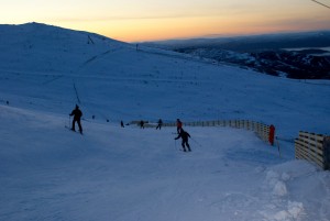 Heading for home via the Zig Zags, hardpacked and rather icy below here, esp Carpark Runs.
| 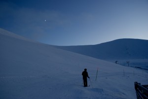 At the Traverse/105 split at the end of the day, Coronation Wall has a fantastic base - what will happen the rest of the week?
|
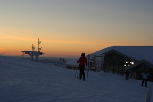 Almost time for home as dusk begins to turn to night on CairnGorm Mountain.
| 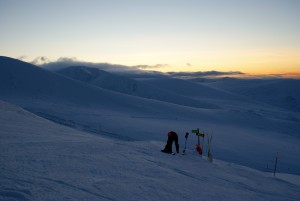 Looking over the Northern Corries from the Traverse / M1 split at the end of a beautiful day on CairnGorm.
|
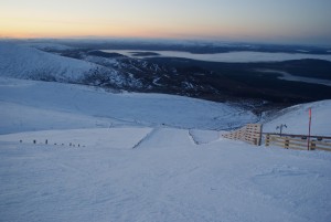 M1 RaceTrack in good condition, but icy below 2800ft, best to exit via Horizon Road to the Cas.
| 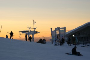 Late afternoon turns under the magical light of the mid-winter twilight.
|
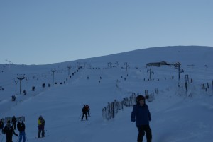 Busy Ciste Tow, looking up the Fairway which has full cover from tow to tow.
| 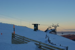 Looking over the West Wall Chairlift to the twilight glow to the North West.
|
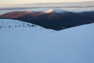 Ciste Bowl is wide and offering good snow. Extensive moderate off-piste up on the Ptarmigan Ridge and uppermost reaches of the East Wall.
| 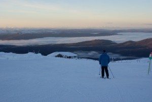 Looking down the Ptarmigan Traverse to the Top Station and fog filled Strath beyond.
|
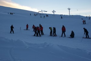 Great conditions for learning the last few days in the Ptarmigan Bowl, but stormy spell coming up.
| 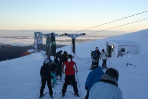 Ptarmigan Tow doing it's thing above the sea of mist at lower levels.
|
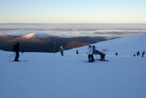 Ptarmigan Bowl in great shape with sweet snow. Excellent confidence boosting skiing!
| 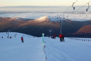 Afternoon rays on Meall a' Bhuachaille, looking down the Ciste Fairway and T-bar.
|
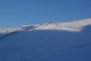 M1 RaceTrack and Horizon Road from the Fiacaill Ridge, Top Station still just in the afternoon Sun.
| 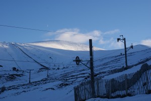 Looking up CairnGorm Mountain from the foot of the Fiacaill Ridge Poma.
|
Click on Thumbnail to view larger images. Click on Title for Image Index.
Displayed: Images 1 to 16 of 16
|
It was another beautiful bluebird Tuesday on CairnGorm Mountain above the fog in Strathspey that did not lift all day, giving spectacular inversion views from the mountain which remained under clear skies as the mid-winter twilight faded to night.
However don't think the dusk glow on the horizon represents the 'red sky at night' thing, at least not for CairnGorm tomorrow in terms of wind. Overhead maybe OK, but very high winds are expected from the off on Wednesday and are forecast to continue over the next few days at least. So please check with CML before travelling over the coming days.
With the forecast model output balance now lying to the side of cold enough for the forecast precipitation to fall as snow, then hopefully the report info from today will be historical info when the storms ease, but for the better.
If we do get significant snow on Storm to Hurricane Force South East winds it's a great direction for filling in the major runs and gullies on CairnGorm, driving snow off the higher plateau areas into the snowsports area and there is an excellent well consolidated base across the mountain, including the lower slopes.
Enjoy the photos, but for now it looks like a few days of waiting and watching. Remember to check the webcams, but if we get the 'best' forecast outcome, don't expect to see too much from them over the coming days!
Check out the Public Reports for additional photos from CairnGorm, also from Glencoe and Raise on Tuesday.
|
